san fernando mtns
6.5 hours, 5000 feet, 22 miles.
also the ruins of the echo mountain hotel & railroad, a squirrel, a rattlesnake, a deer, a bundle of descending deflated helium balloons, and one flat tire with 1/4 mile left in the ride.
---------------------------
louisa's description of the ride:
---------------------------
Directions: From the South Bay: Take 405N to 105E to 110N to 5N to 2N to 210E. and exit at Windsor Ave/Arroyo Blvd., turn left at the off ramp onto Windsor and continue for about a mile. Park in the paved parking area on the left near the entrance to JPL (NASA jet propulsion laboratories) just before the street curves to the right becoming Ventura St.
...more details from SBMBC (scroll down to "Sat. August 4: Lower Merrill/Inspiration Point to Sunset and El Prieto Trail.")...
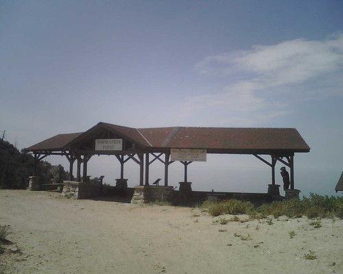
inspiration point

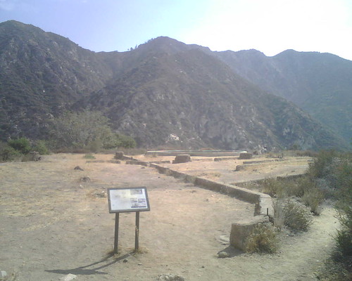
echo mountain house ruins/foundation

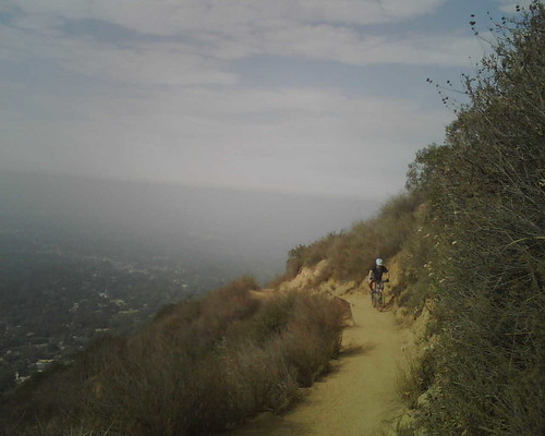
gary the downhill master & the endless uphill climb

more pics on flickr!
also the ruins of the echo mountain hotel & railroad, a squirrel, a rattlesnake, a deer, a bundle of descending deflated helium balloons, and one flat tire with 1/4 mile left in the ride.
---------------------------
louisa's description of the ride:
This weekend, Gary Fleming is leading the Lower Merrill to Inspiration Point then down the Middle Merrill (gnarly) and down the Sunset Trail to El Prieto. Lots of technical single track on this ride. The initial climb is three miles on fairly smooth single track. It is a work out but nothing you can't do. There are lots of hikers on the Lower Merrill on the weekends which means you have to stop and let them go by. That's not a bad thing because then you have a chance to catch your breath!(note: it was much more technical than louisa lets on and riding this MOUNTAIN entailed more uphill than i've ever done. i'm exhausted and my knees will not forgive me for a few days. but it was awesome.):
I think you can do it but I think where you will have difficulty is with the serious technical sections and exposure on the Middle Merrill. I walk some of it. What you could do is ride up the Lower Merrill to Echo Mountain and either wait there for them to climb up to Inspiration Point and come back down the Middle Merrill to Echo Mtn (it's an upper loop) or ride up with them to Inspiration on the Mt. Lowe Rd (fire road) don't go down the Mid. Merrill but back track down the fire road and wait for them to come back around to the Lowe Rd. From there you could go down the Sunset Trail. It also has some gnarly technical but not as much as the Merrill. When you get down to the bottom you are in Millard Campground. From there you climb a short while but not much to El Prieto (the dark one) which is cool 2 mile single track thru the canyon. It also has some gnarly bits, little climbs, descents, splashing thru creeks, hairpin turns and technical rocky sections just not the scale and fear factor that the Merrill has. You have to use your judgement when to get off and when to ride.
---------------------------
Directions: From the South Bay: Take 405N to 105E to 110N to 5N to 2N to 210E. and exit at Windsor Ave/Arroyo Blvd., turn left at the off ramp onto Windsor and continue for about a mile. Park in the paved parking area on the left near the entrance to JPL (NASA jet propulsion laboratories) just before the street curves to the right becoming Ventura St.
...more details from SBMBC (scroll down to "Sat. August 4: Lower Merrill/Inspiration Point to Sunset and El Prieto Trail.")...
inspiration point

echo mountain house ruins/foundation

gary the downhill master & the endless uphill climb

more pics on flickr!


1 Comments:
I have lots of ride pics as well if you get bored.. :)
rideagainstthemachine.blogspot.com
Post a Comment
<< Home